


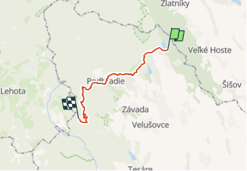

10,7 km | 16,6 km-effort

Tous les sentiers balisés d’Europe GUIDE+


Kostenlosegpshiking-Anwendung
 SityTrail
IGN / Geografische Institute
SityTrail World
Die Welt öffnet sich für Sie
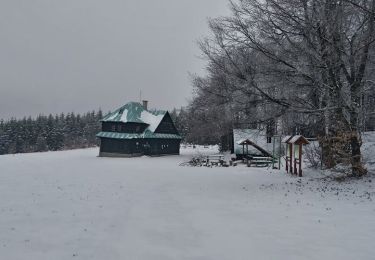
Tour Zu Fuß von 12,8 km verfügbar auf Neutraer Landschaftsverband, Unbekannt, Bezirk Topoltschan. Diese Tour wird von SityTrail - itinéraires balisés pédestres vorgeschlagen.
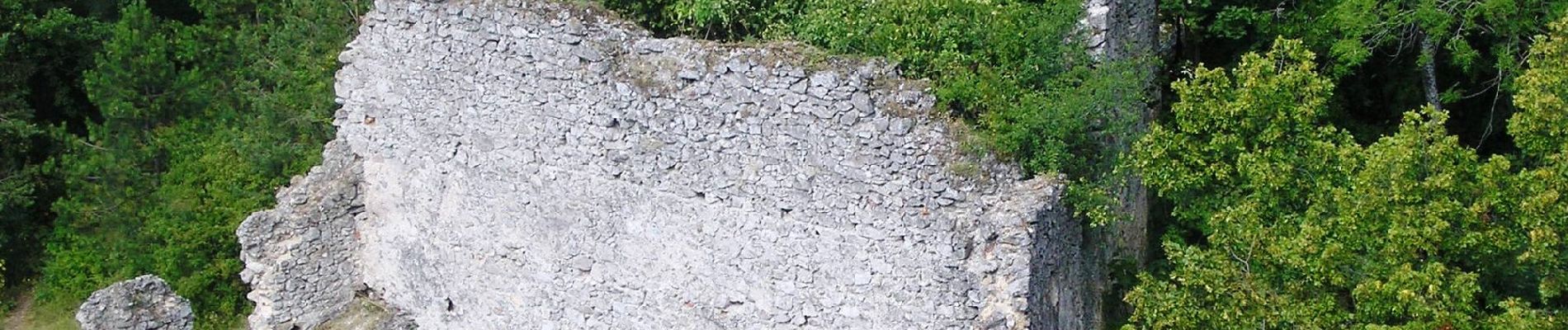
povyse Ardanoviec, okolo kopca Haj, ani na hrebeni pri Havrane som tento NUCH nenasiel vyznaceny


Zu Fuß
Zu Fuß
Zu Fuß
Zu Fuß
Zu Fuß
Zu Fuß
Zu Fuß
Zu Fuß

Zu Fuß